GET an Elevated Perspective.
WITH AERIAL PHOTOS, VIDEOS & GPS TAGGED MAPPING & surveys
VAP's Services. Get Drones Working for you!
Real Estate
Call Now
25 Edited HR Stills RAW
60 Second HD Video
LIDAR Scan
Call Now
Up tp 100 acres
2-3 CM Accuracy/ 3 Returns
Full Data Processing
INSPECTION Services
Call Now
Pro HR RGB & Thermal
45 MP/4K Videos RGB/Thermal
Day or Night
CUSTOM
Call now
Deliverables Based on Needs
Custom Pricing
3D and 2D and Mapping
My Videos
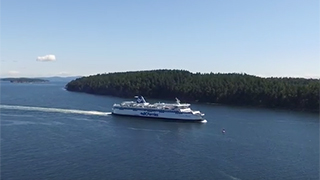
"BC Ferries Spirit of Vancouver Island Aerial"

"8 Lighthouse View Royal BC"


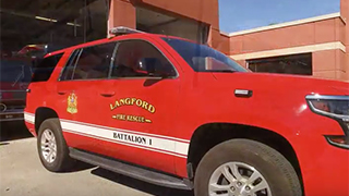
"Langford Finlayson Mountain Rescue"

"Fisherman's Wharf Victoria BC"


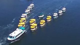
"Victoria Harbour Ferry 25th Anniversary "

"Pym Island Estate"


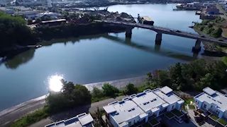
"The Railyard Victoria BC"

"Spirit Bay"


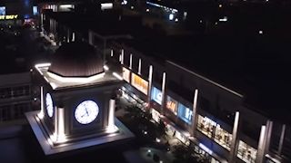
"UpTown by Night"